Objective
This work-package combines epidemiological data and statistical, “pattern-matching” models, to understand the role of wide-ranging ecological, environmental and social risk factors in driving historical patterns in Kyasanur Forest Disease at both district and regional scales. A key outcome will be maps that predict how risk varies across the landscape under alternative forest and climate conditions and social factors affecting communities of forest users.
Approach
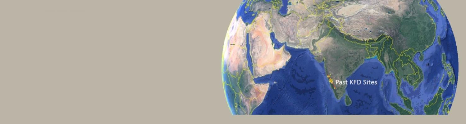
We are using earth observation data to map forest type and land use and to understand variation in social factors and agriculture-forest-human interfaces.
The figure below shows a new map of forest types and other land uses across Shimoga District, Karnataka, the longest affected district in India, created from landsat images by project partners.
We are applying novel statistical techniques for accounting for multiple interacting risk factors and spatial variation in disease reporting effort. Our partnership between researchers and Public and Animal Health practitioners in the collation and interpretation of epidemiological data is key to bridging the gap between how epidemiologists and practitioners map, predict and visualise risk in the landscape.

Project map of Land Cover Land Use Types in Shimoga district, generated from classification of Landsat images from 2016-2018, version 1, September 2018.